
© 2019 SV2HWM
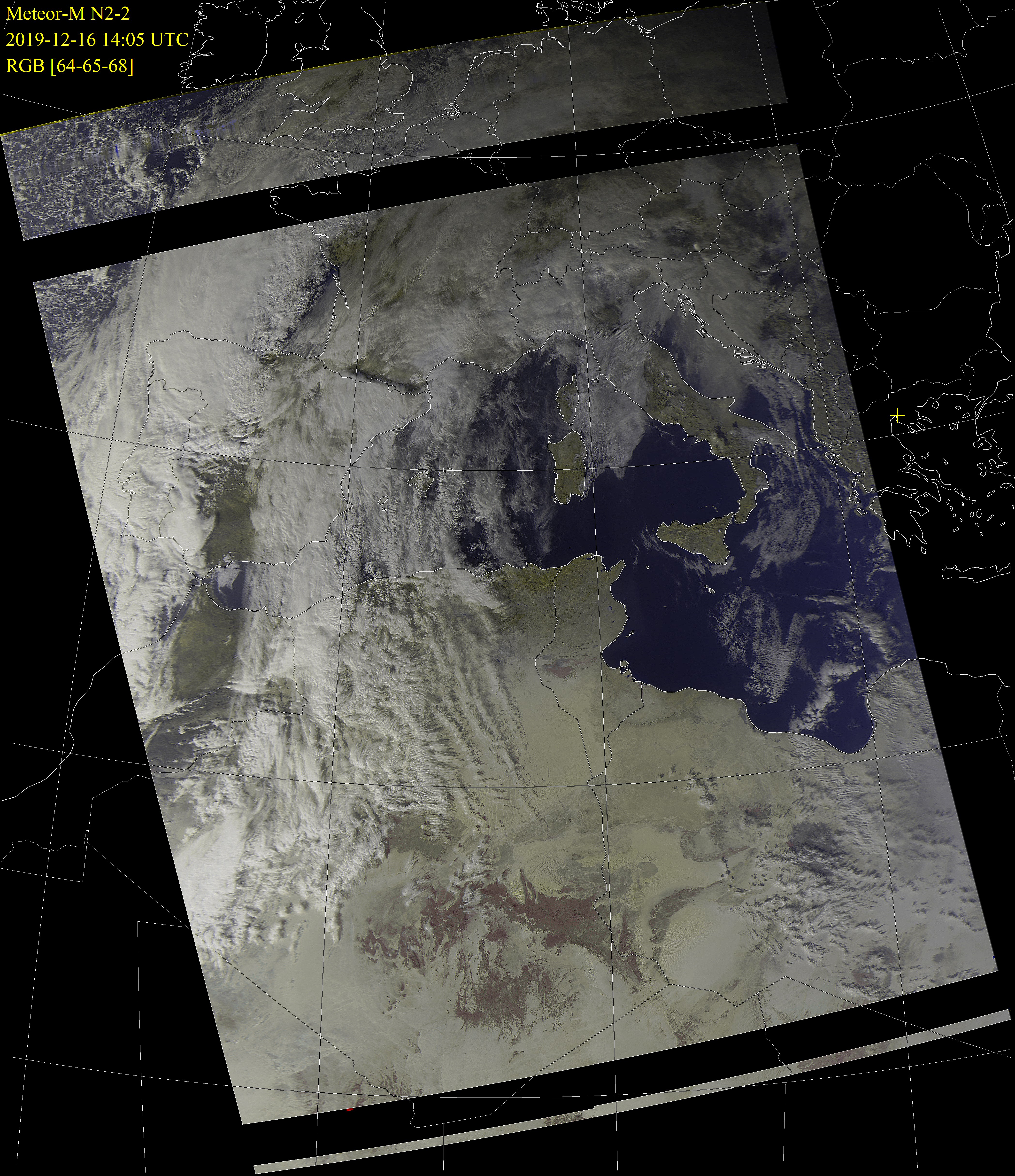
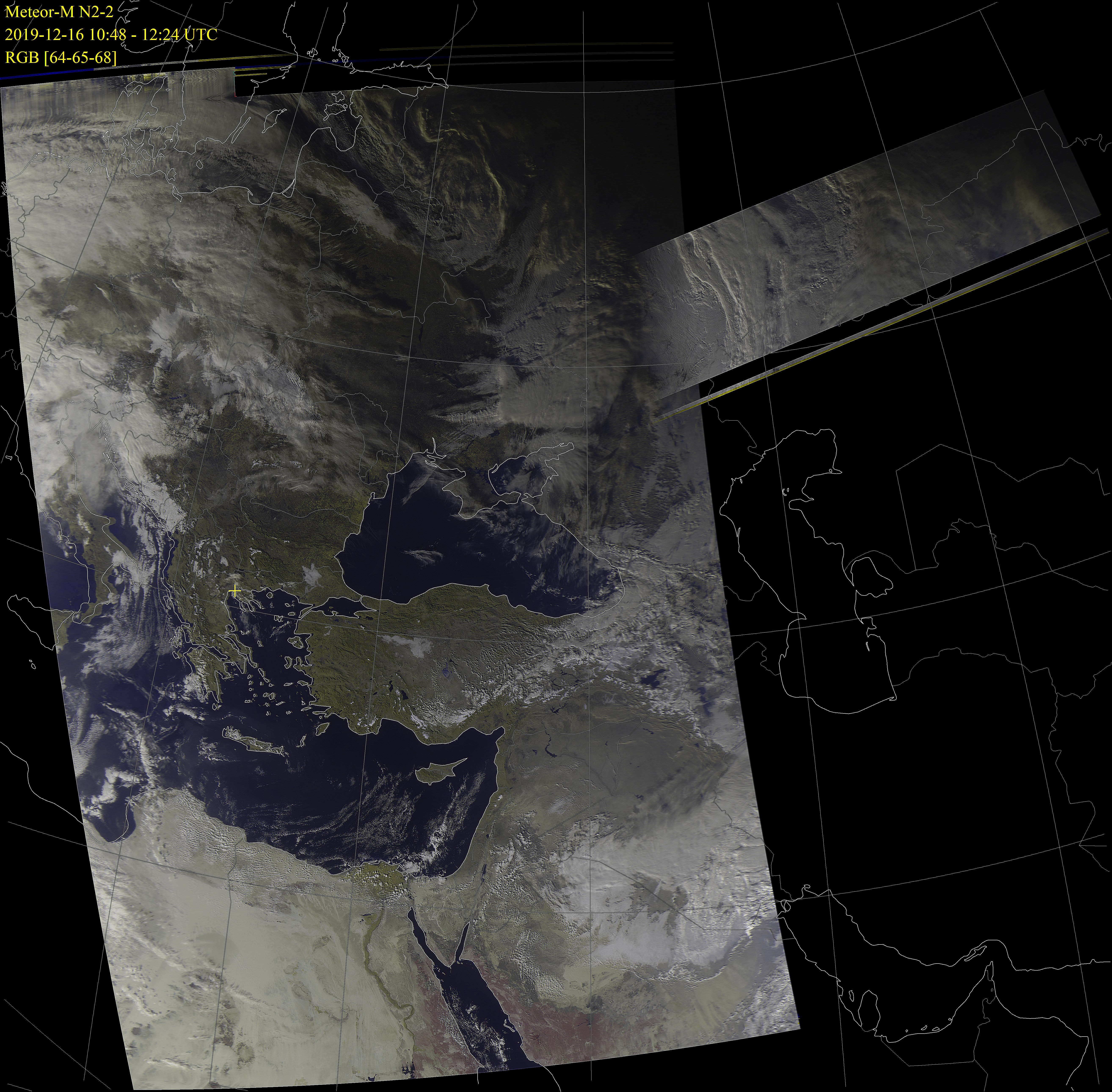
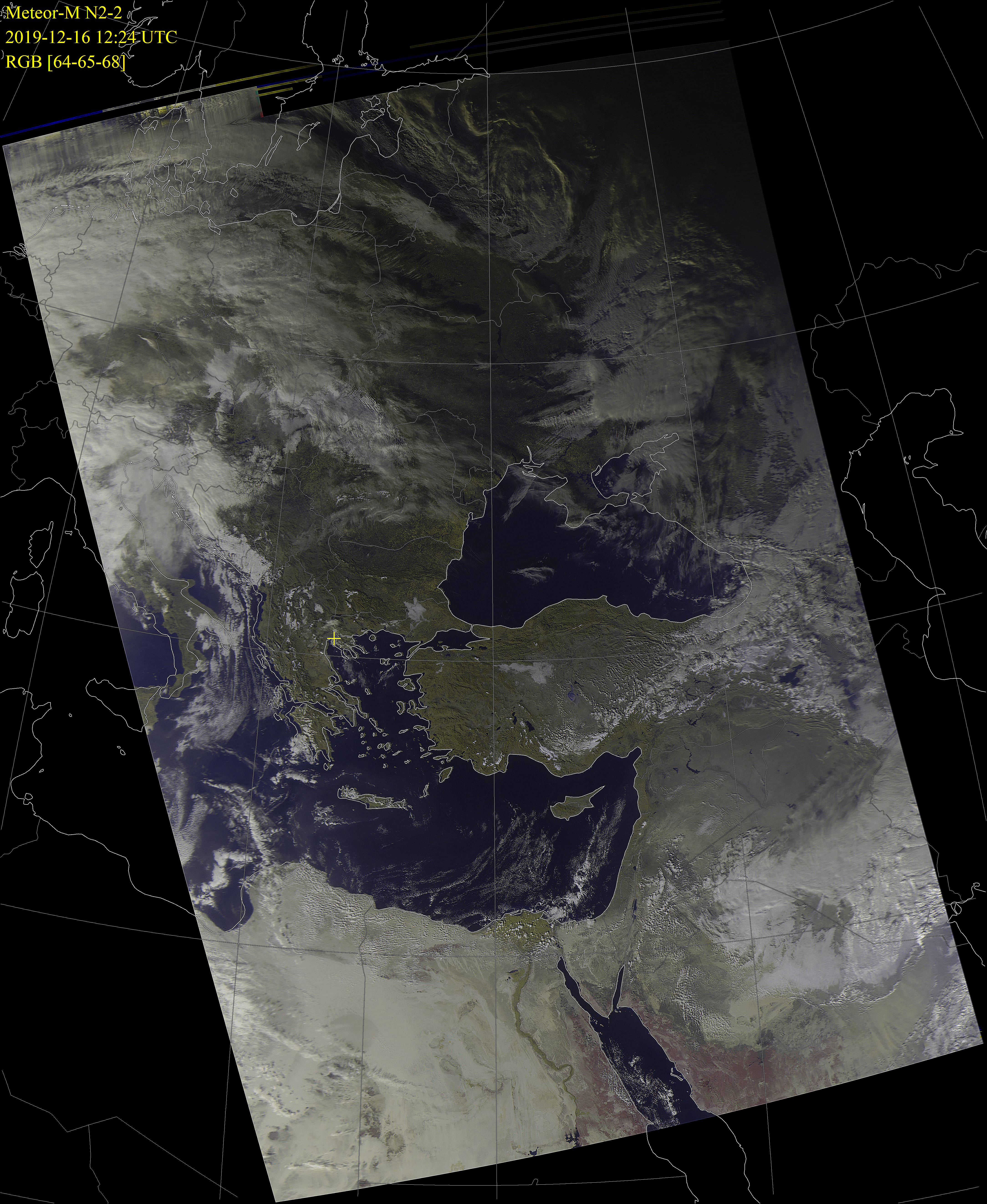
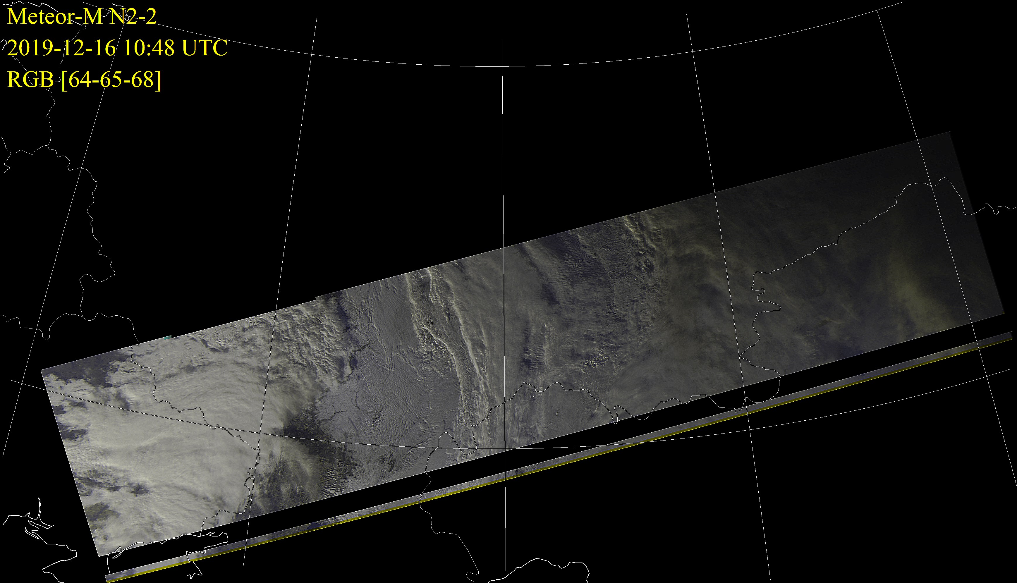
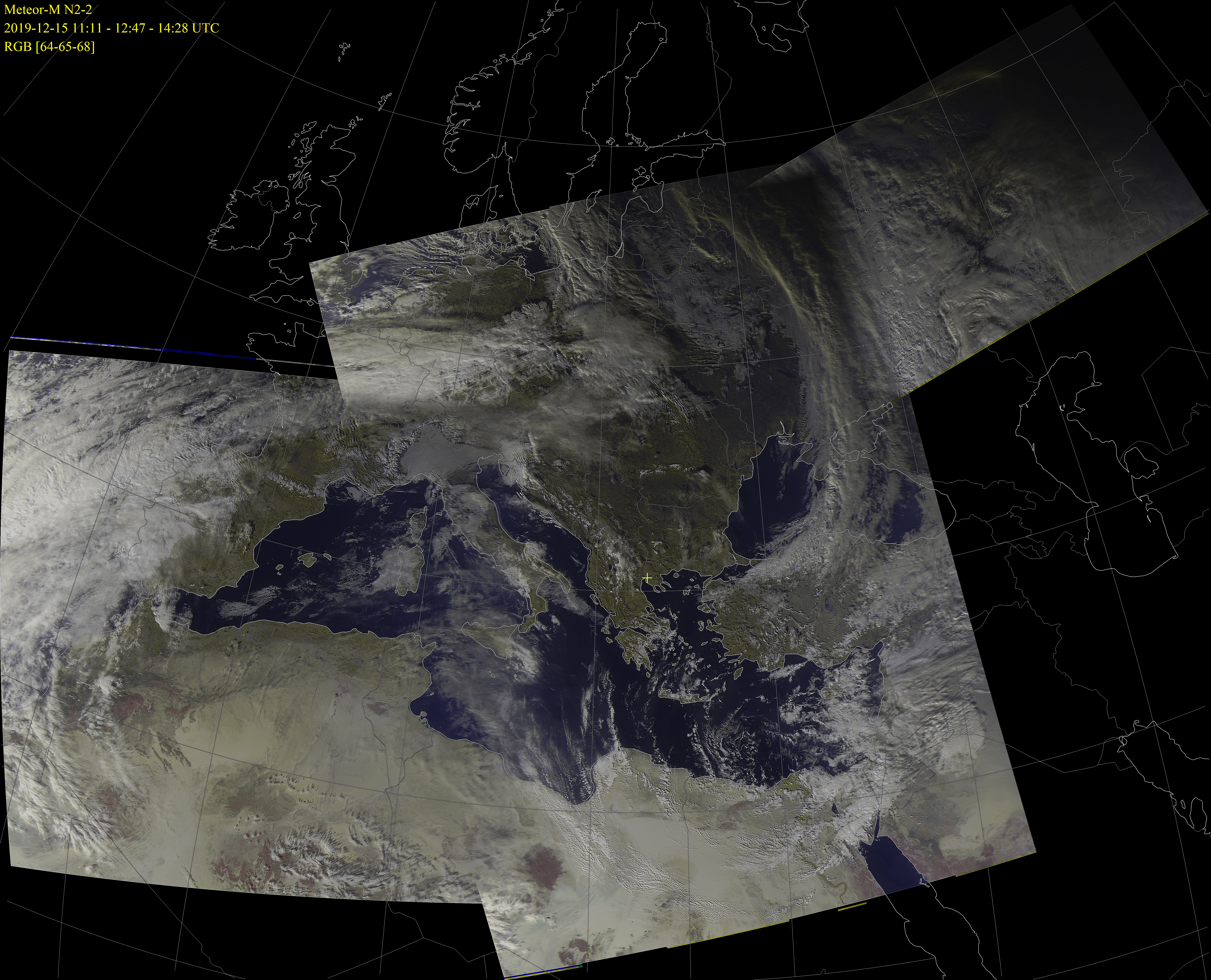
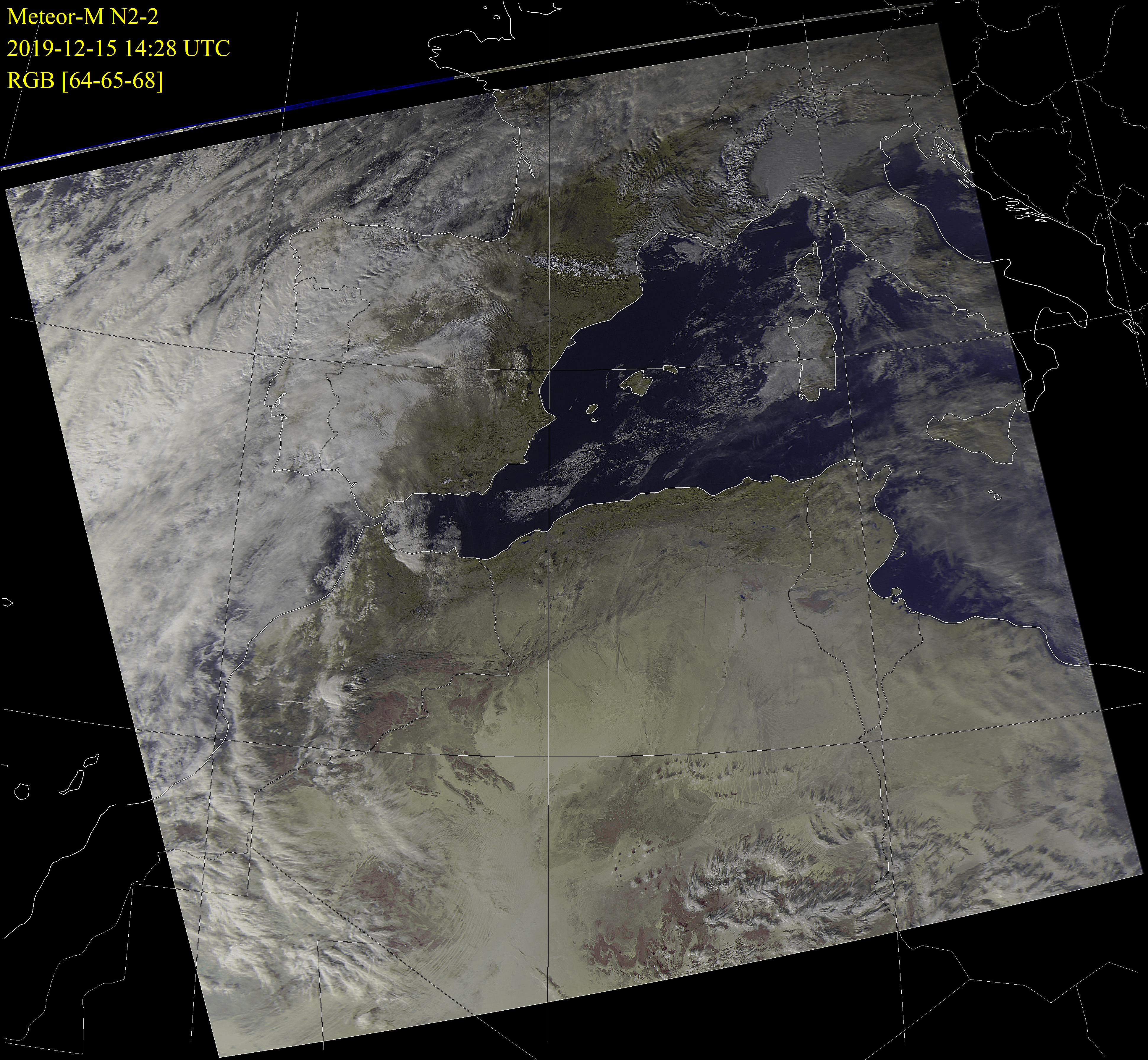
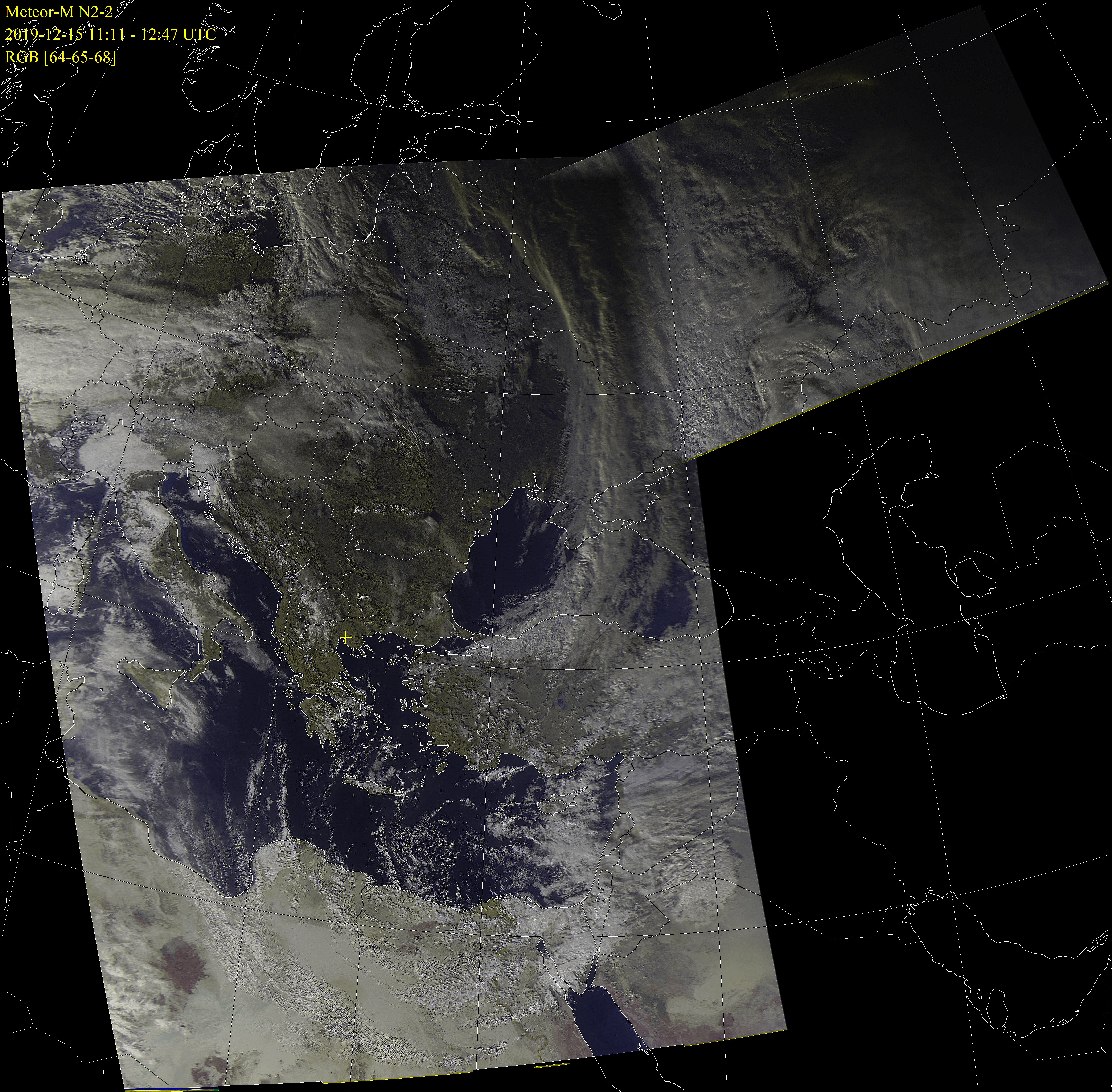
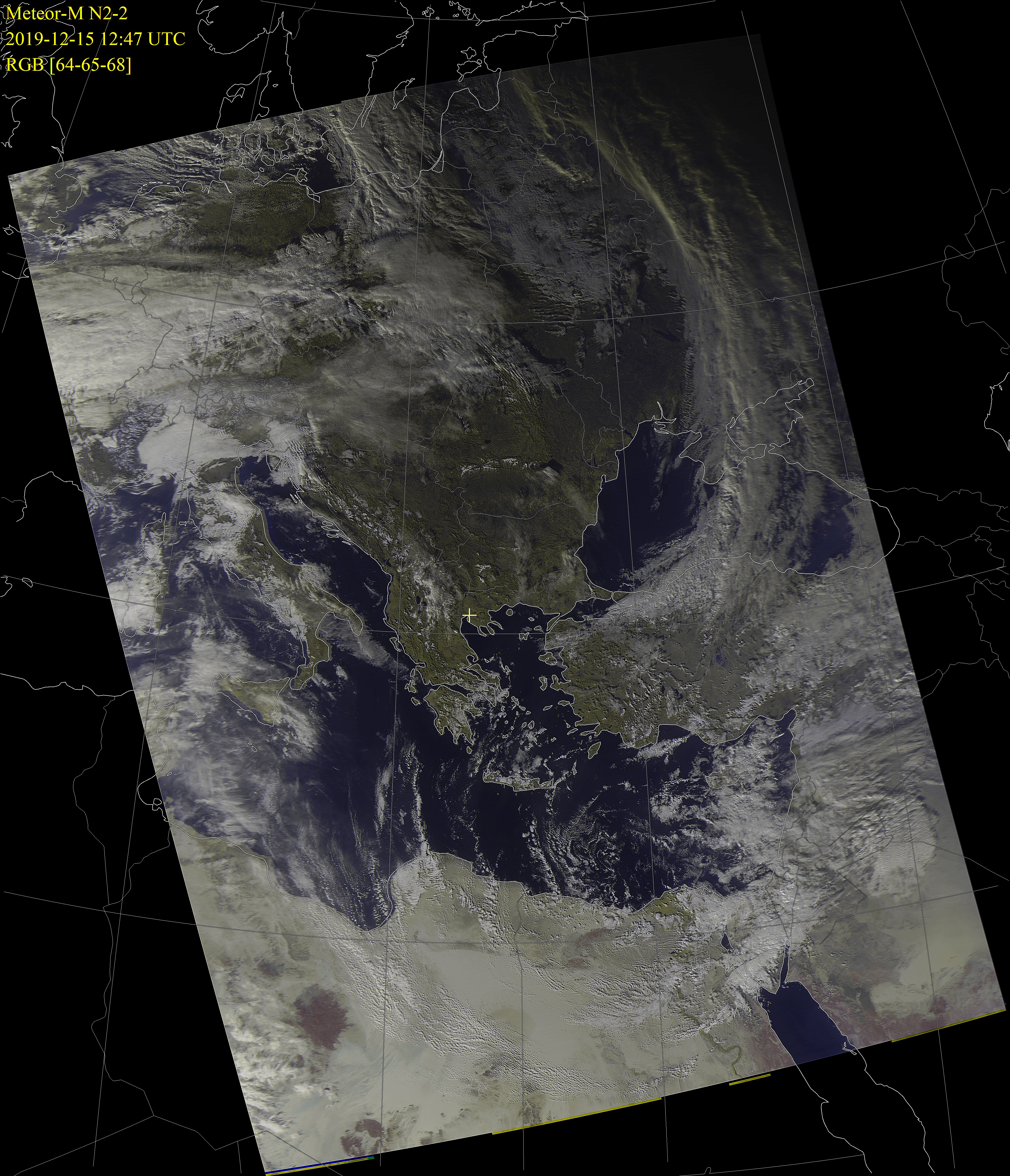
Meteor-M N2-2 LRPT weather images received on 137.100 or 137.900 MHz in Thessaloniki, Greece
Latitude: 40.594, Longitude: 22.962
Software: SDRsharp with DDE Client and Meteor Demodulator plug-ins. Satellite tracking and Doppler effect correction with Orbitron
Decoding with AMIGOS M2_LRPT_Decoder. Image processing with MeteorGIS
Receiver: RTL-SDR.com v.3 RTL2832U DVB-T Tuner Dongle
Antenna: Moonraker Turnstile
Click on any image below for a full sized image.
Times are shown in UTC.
Next passes over Thessaloniki with Elevation > 5°Data obtained from www.n2yo.com |
||||
|---|---|---|---|---|
| Date UTC |
Start of Pass UTC |
Direction | Max Elevation Degrees (E or W) |
End of Pass UTC |
| 14 May 2025 | 12:12 | ESE >> N | 13.1° ENE | 12:24 |
| 14 May 2025 | 13:50 | S >> N | 85.64° W | 14:05 |
| 14 May 2025 | 15:33 | SW >> NW | 9.47° W | 15:44 |
| 15 May 2025 | 02:06 | NNE >> S | 36.7° E | 02:21 |
| 15 May 2025 | 03:46 | N >> SW | 28.17° WNW | 04:00 |
| 15 May 2025 | 11:50 | E >> N | 7.54° NE | 12:00 |
| 15 May 2025 | 13:27 | SSE >> N | 58.89° ENE | 13:42 |
| 15 May 2025 | 15:08 | SSW >> NW | 16.98° W | 15:21 |