© 2019 SV2HWM
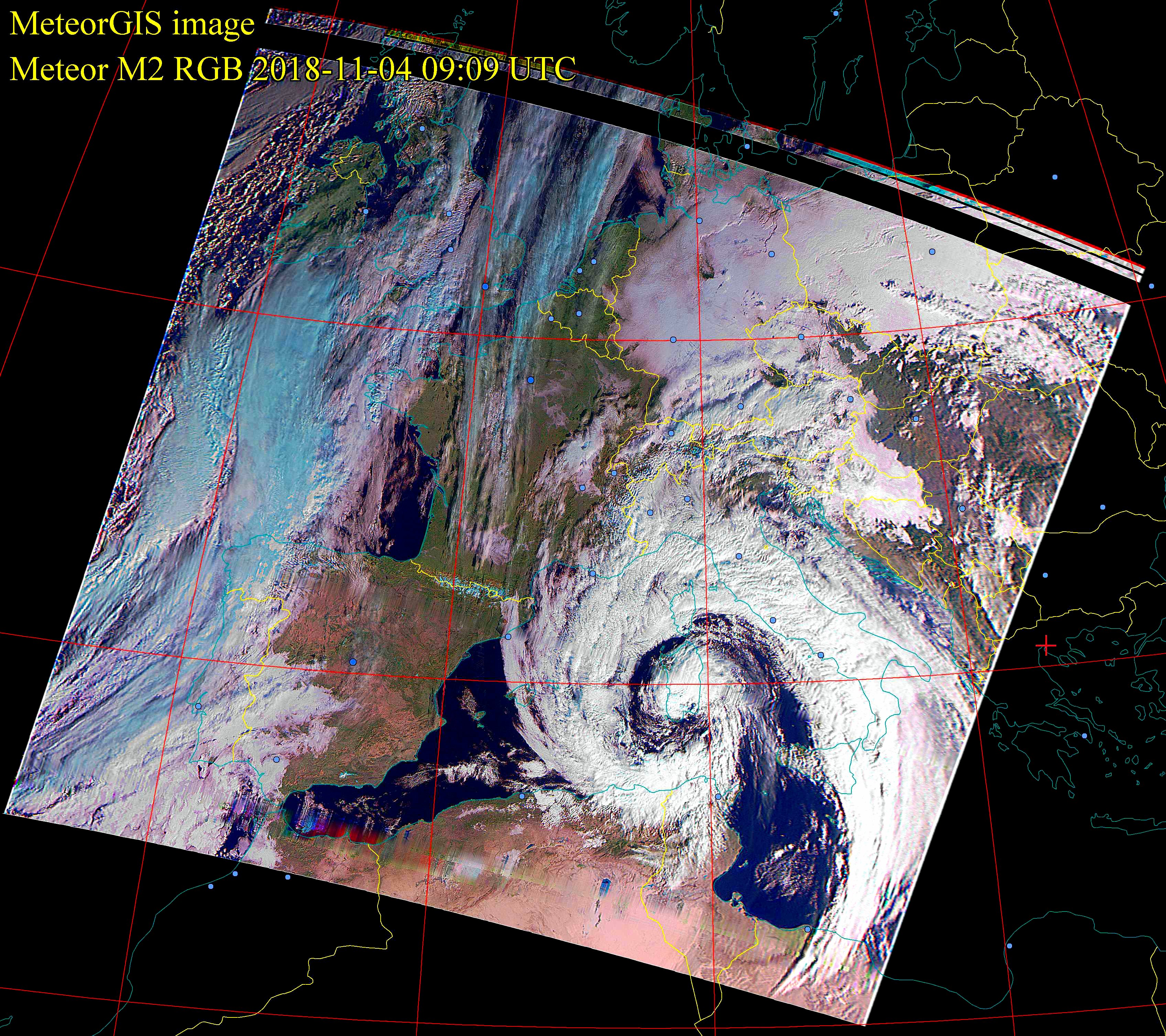
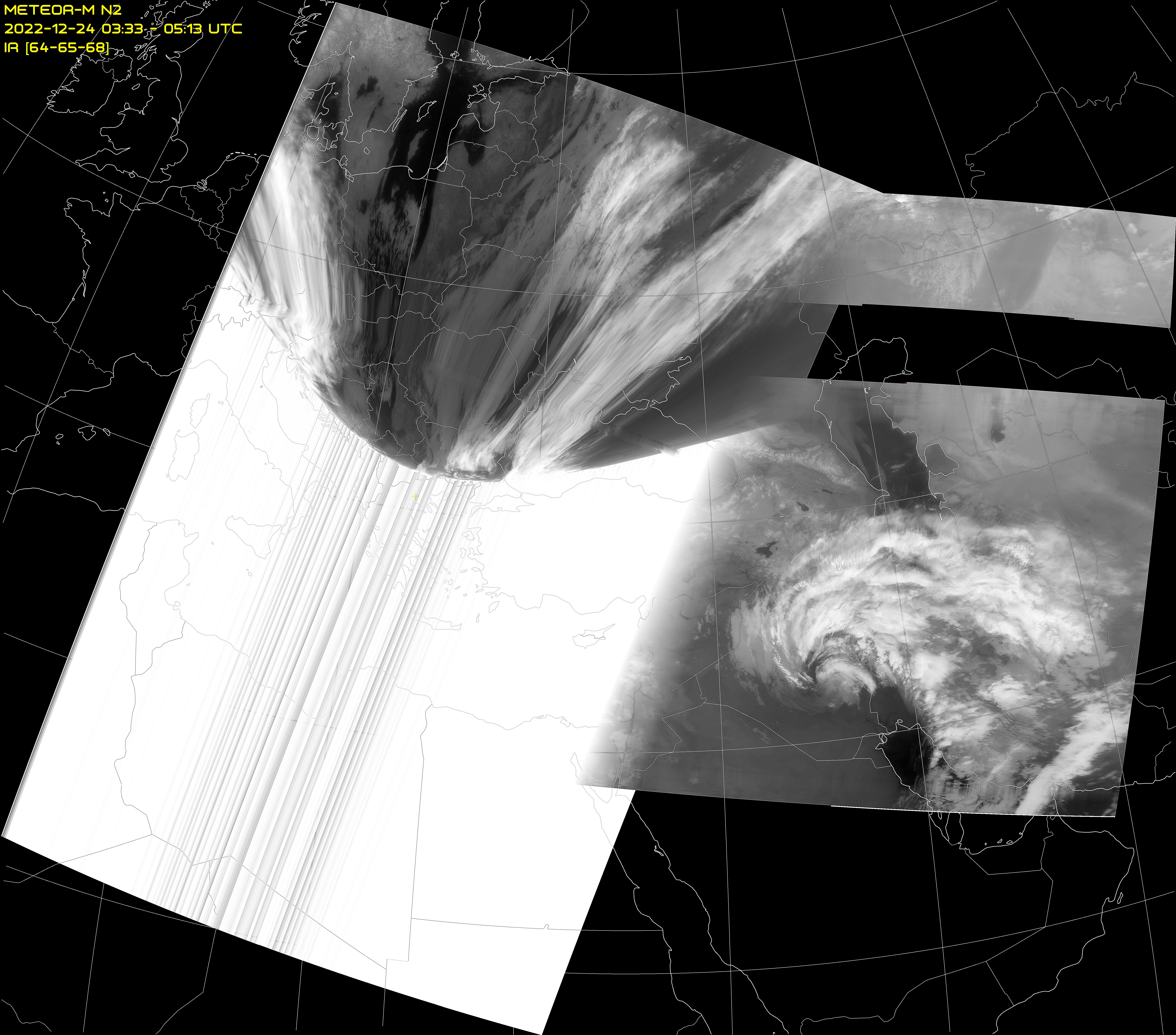
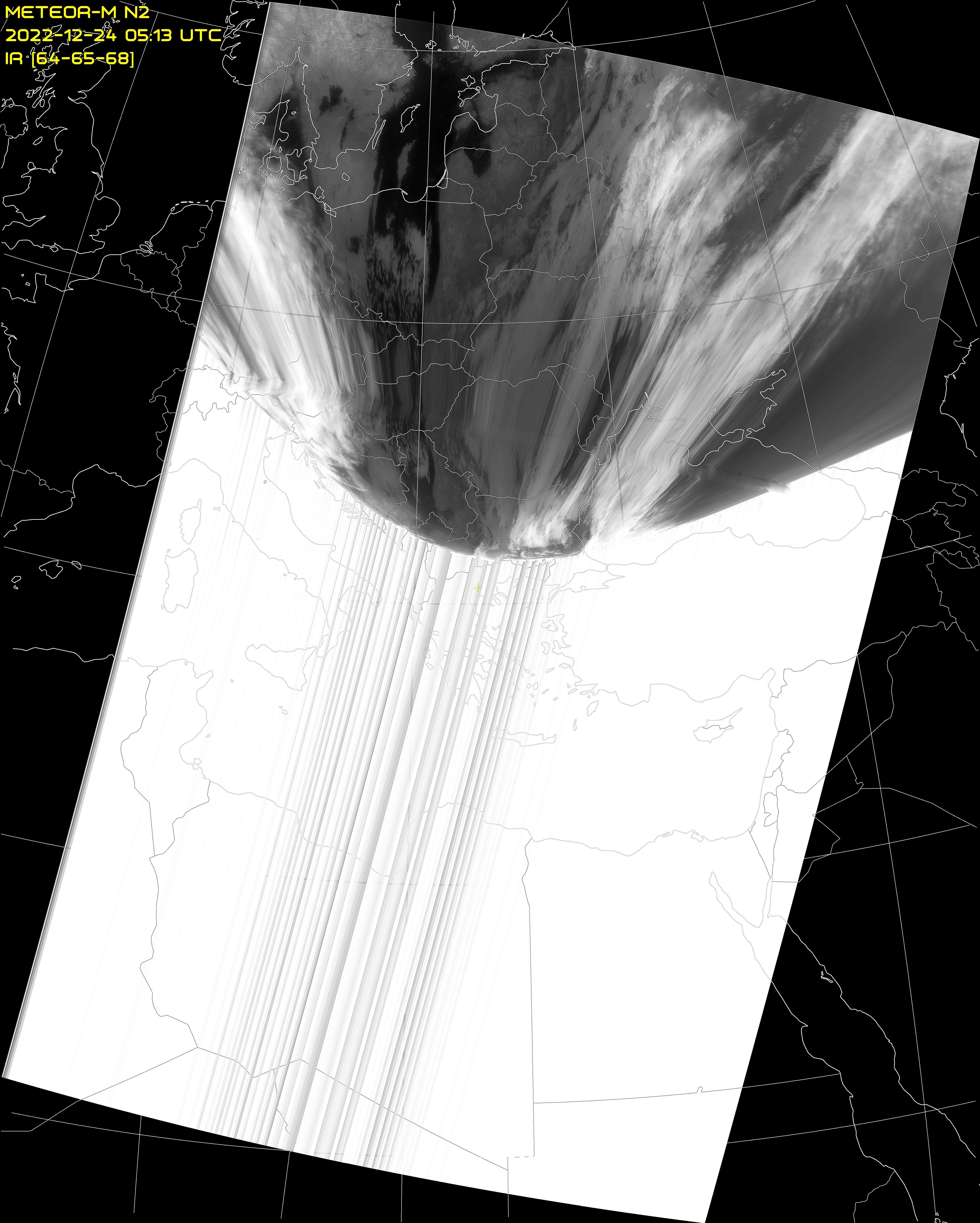
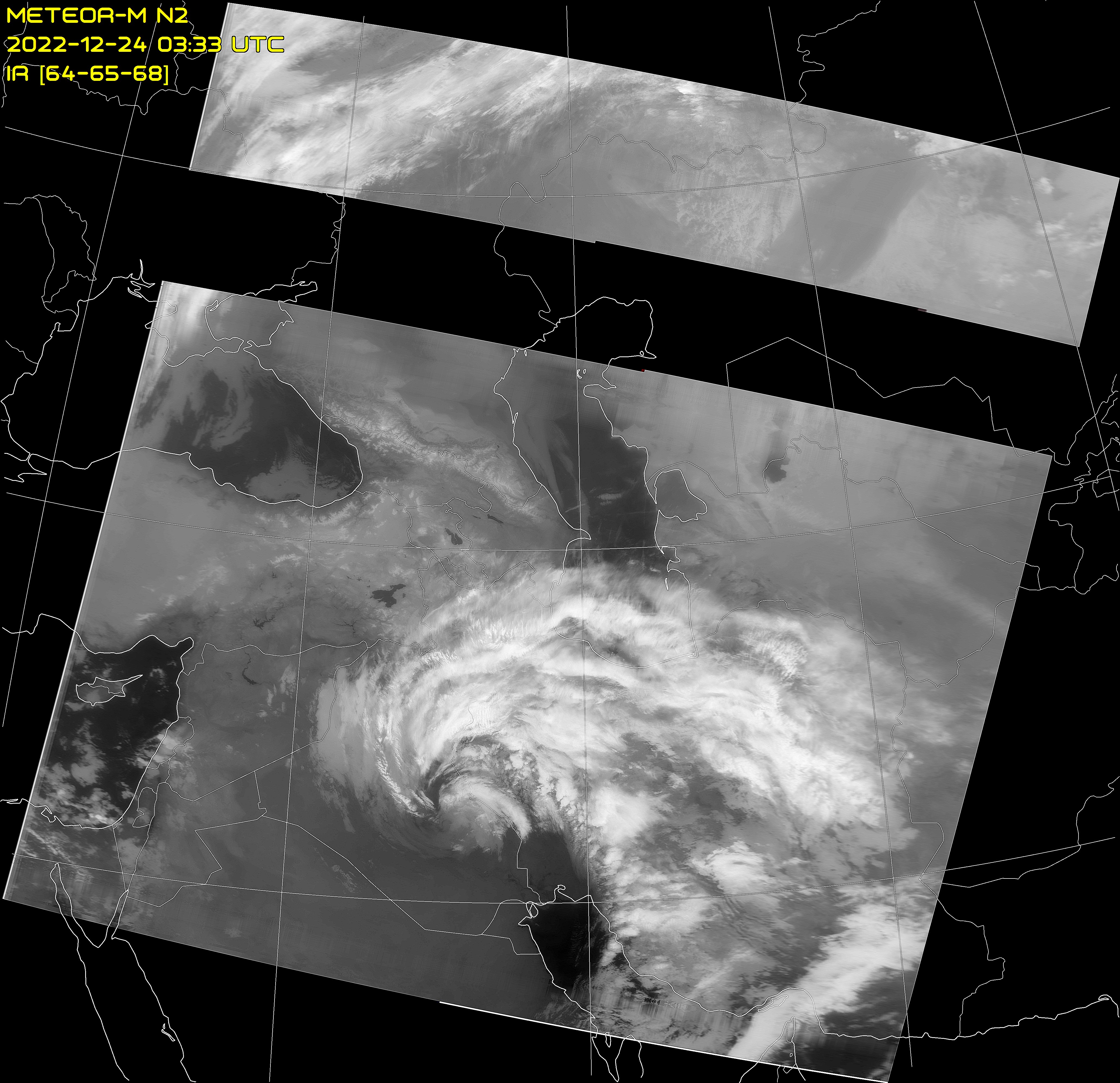
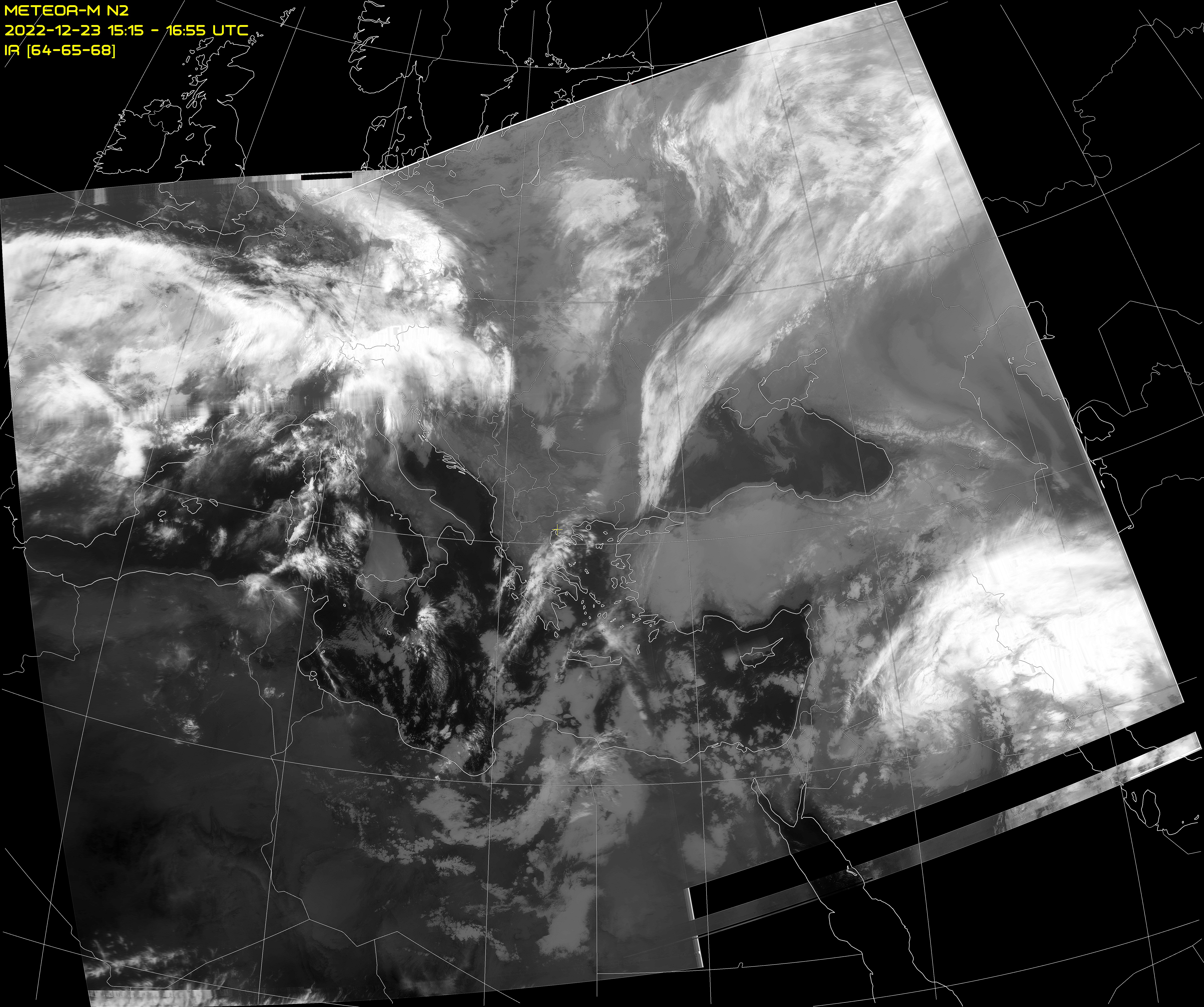
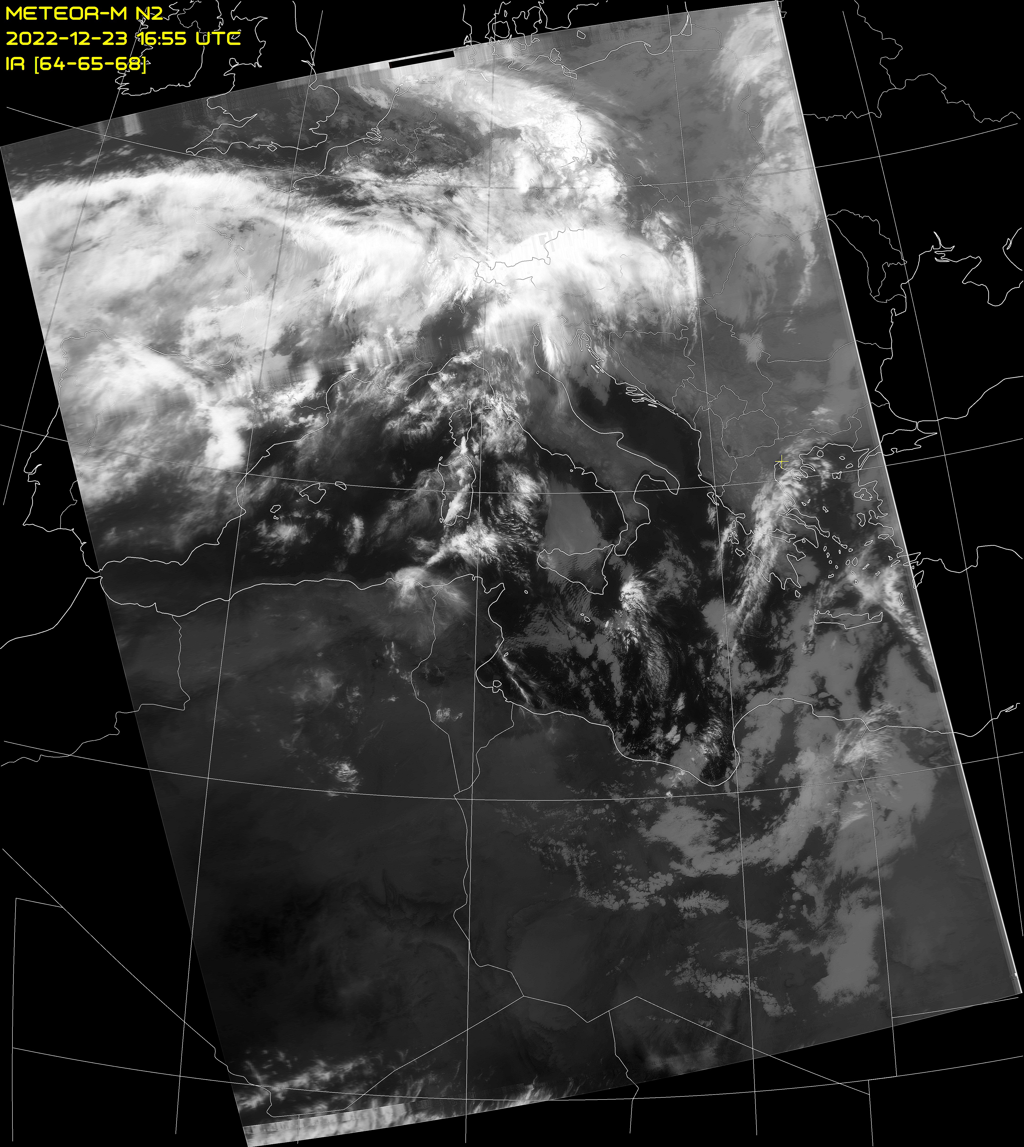
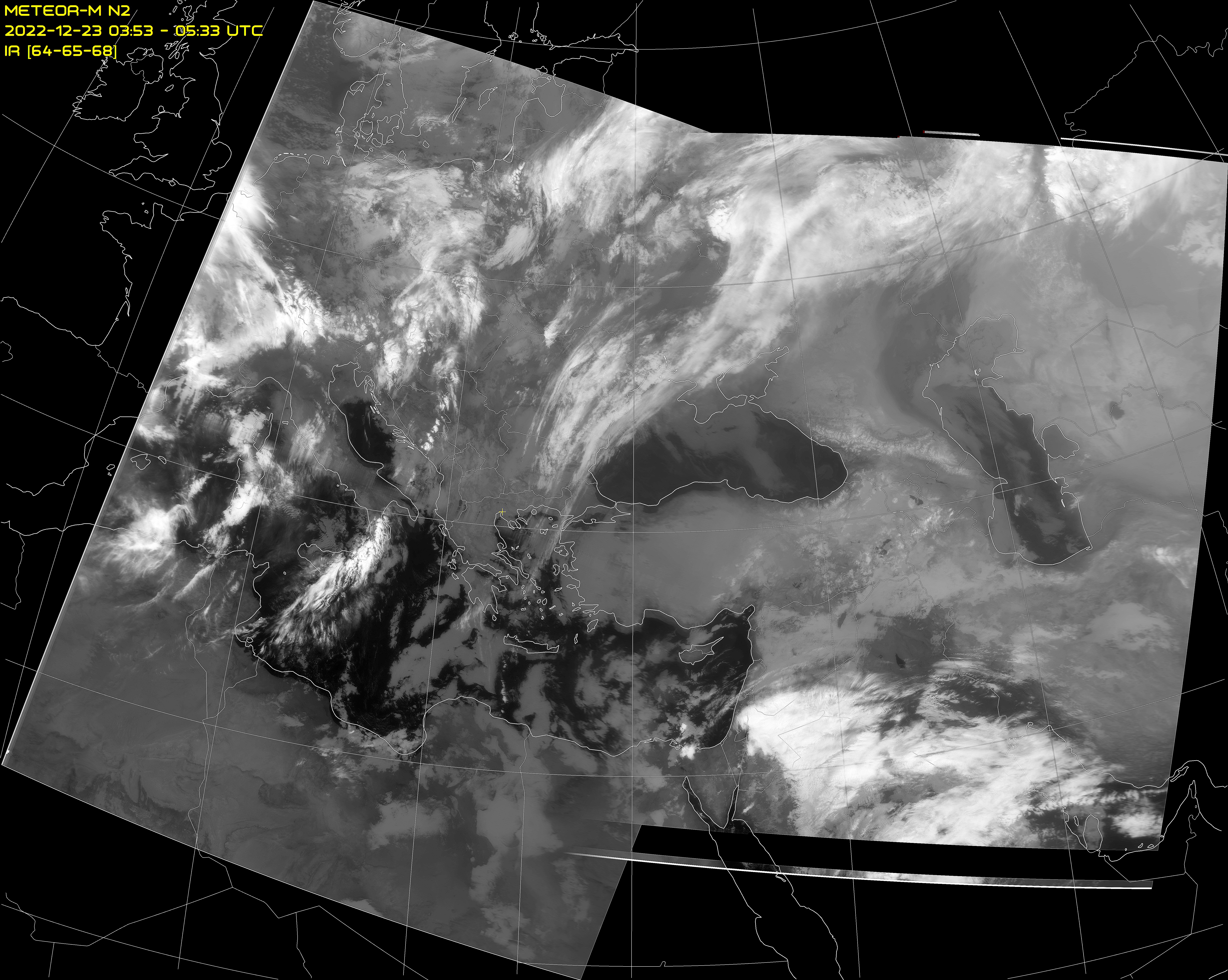
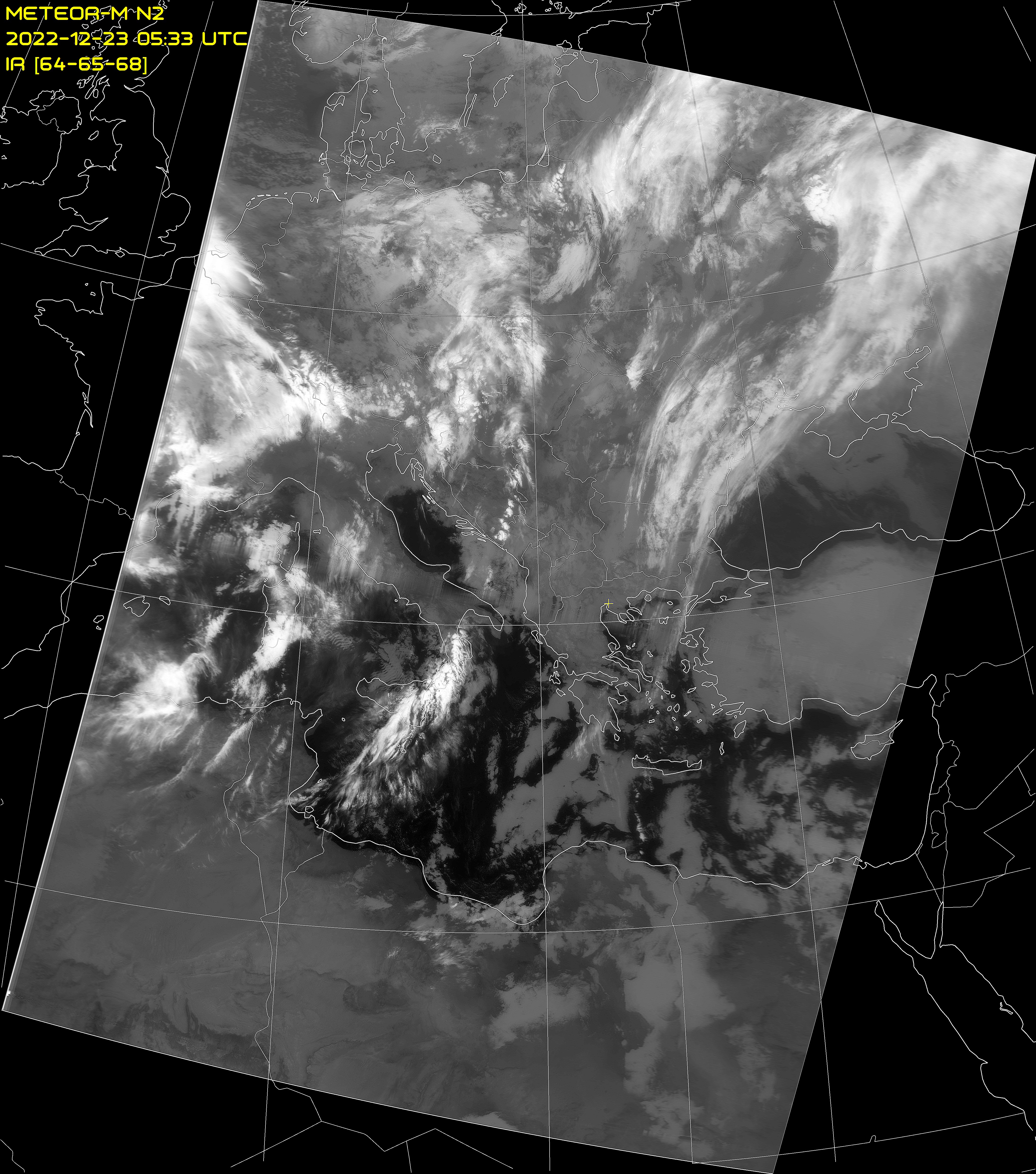
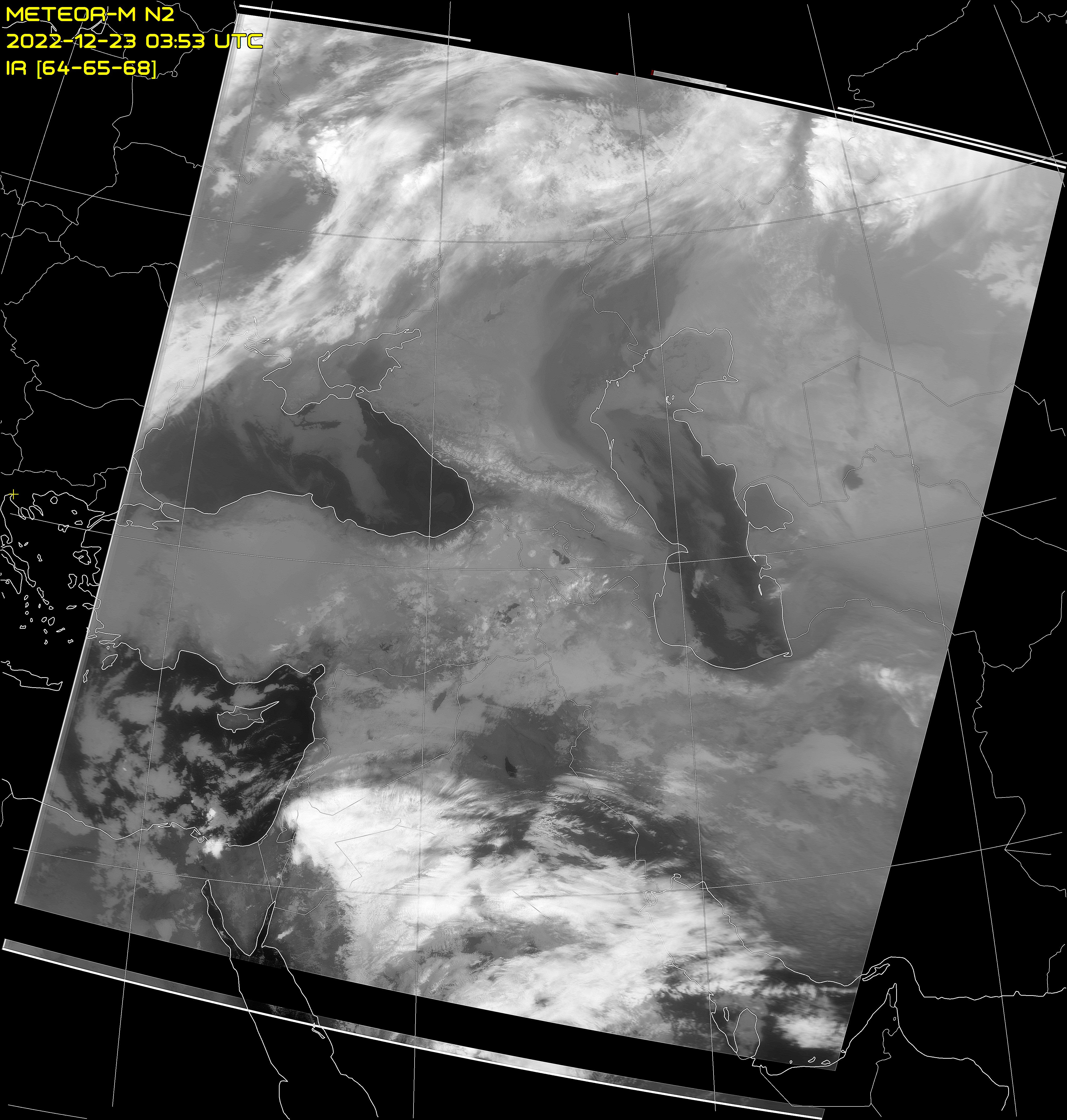
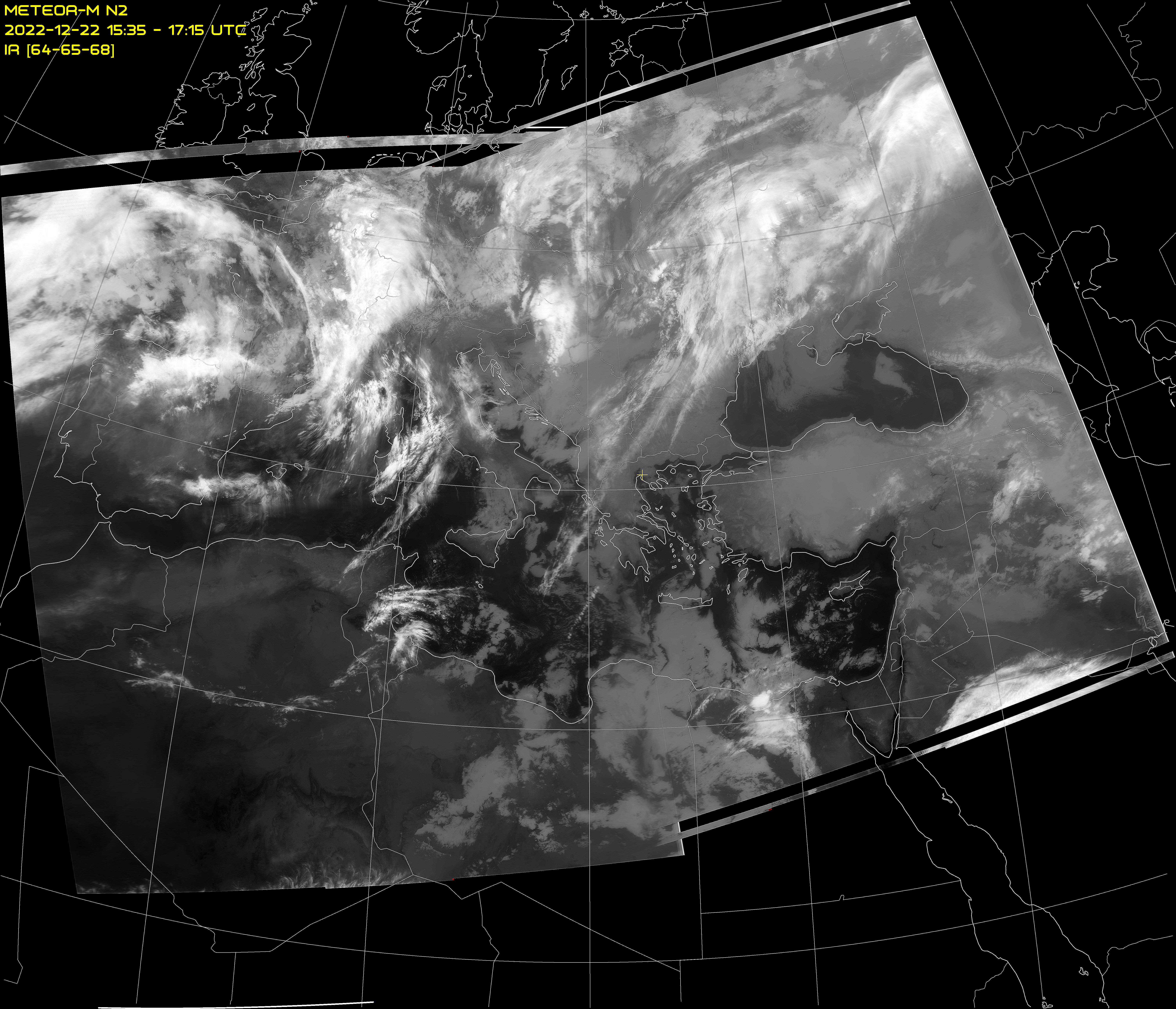
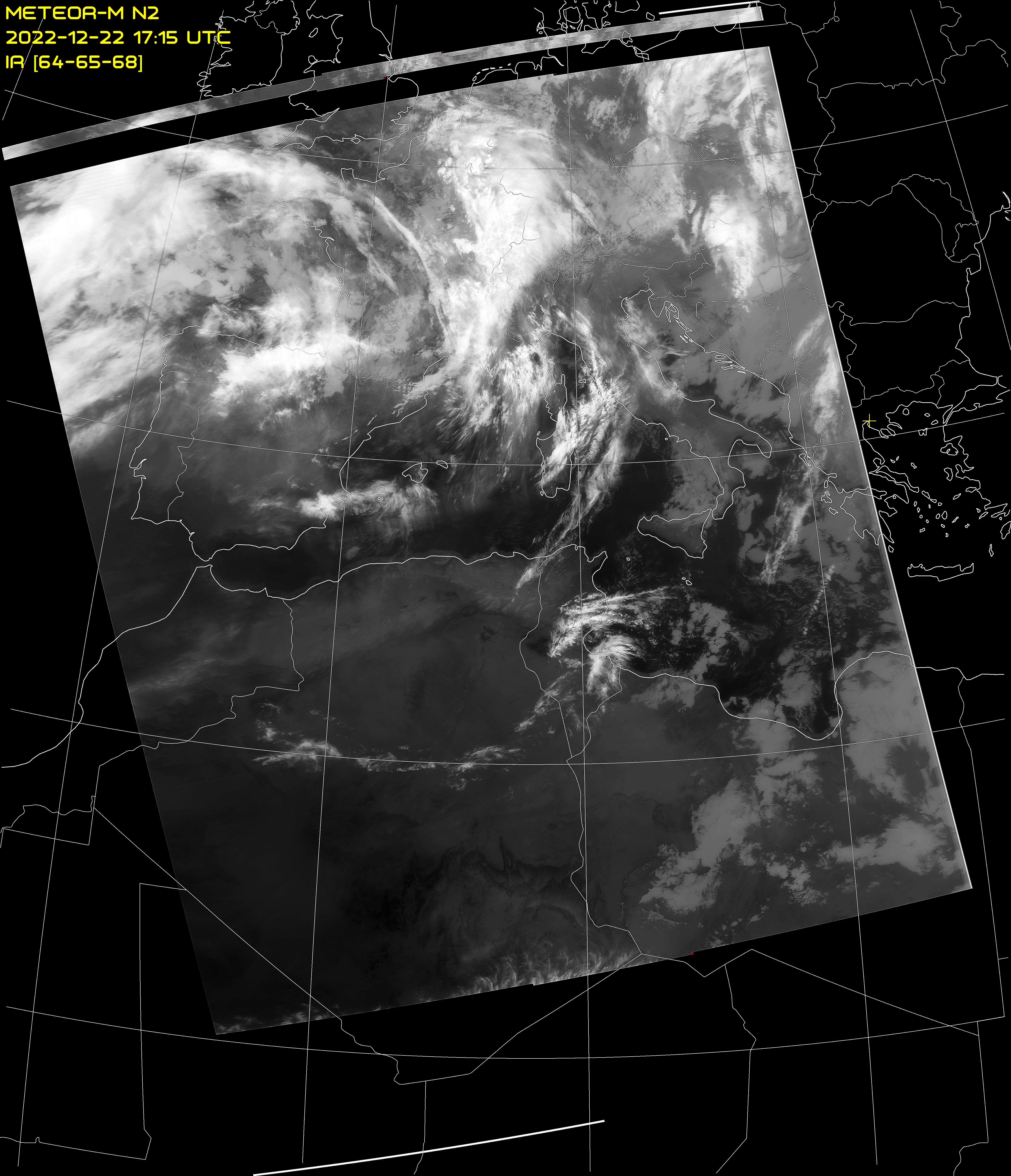
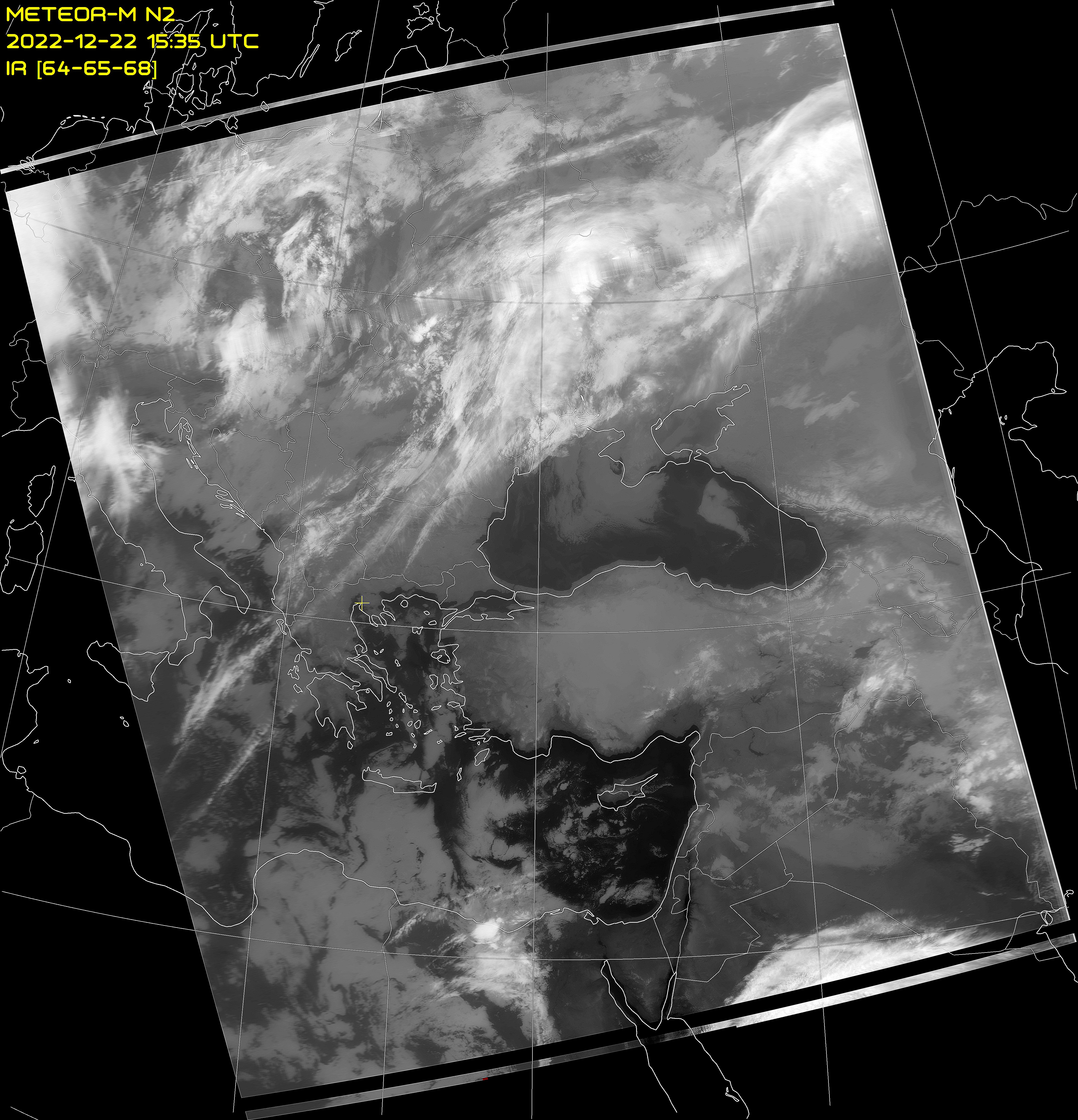
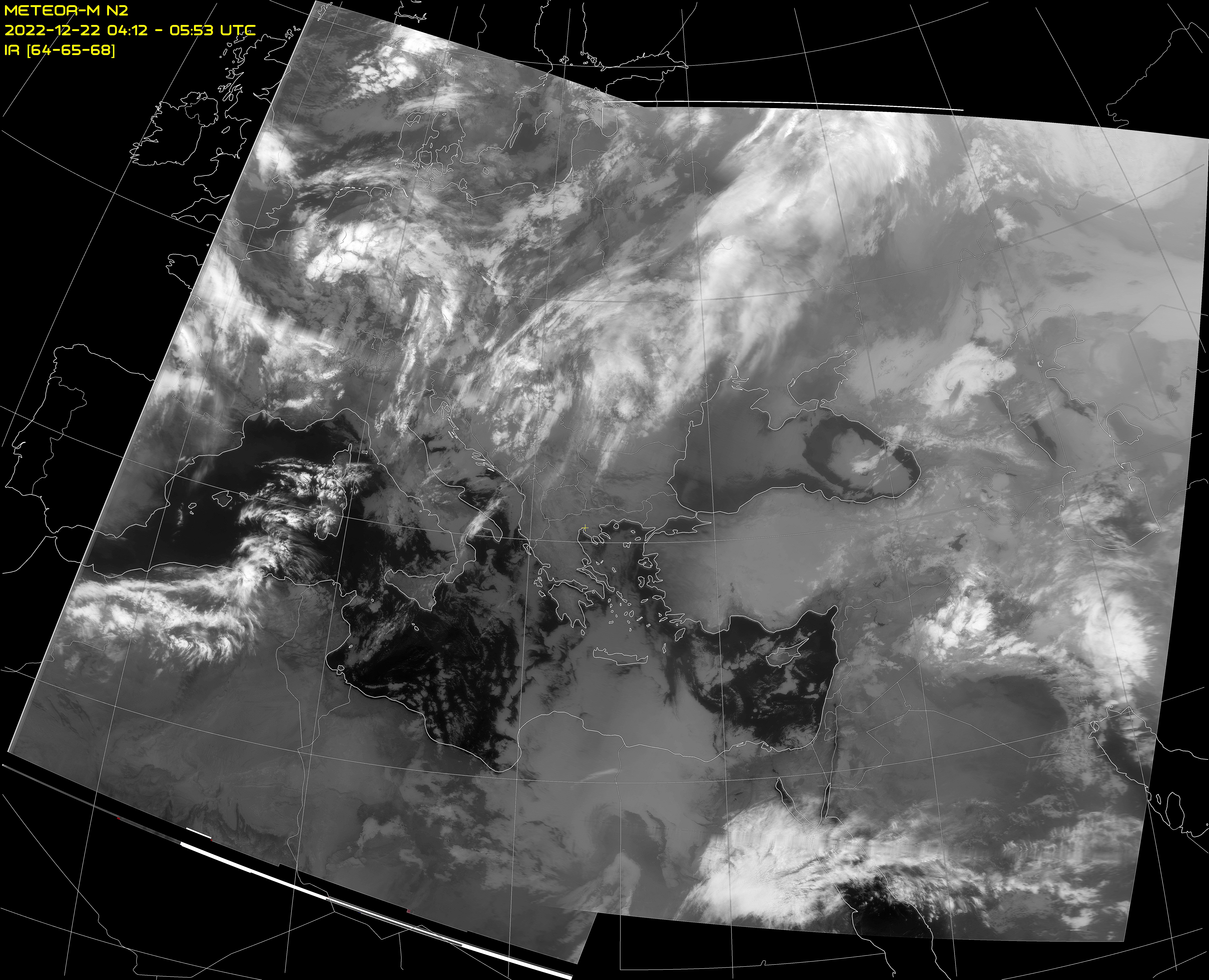
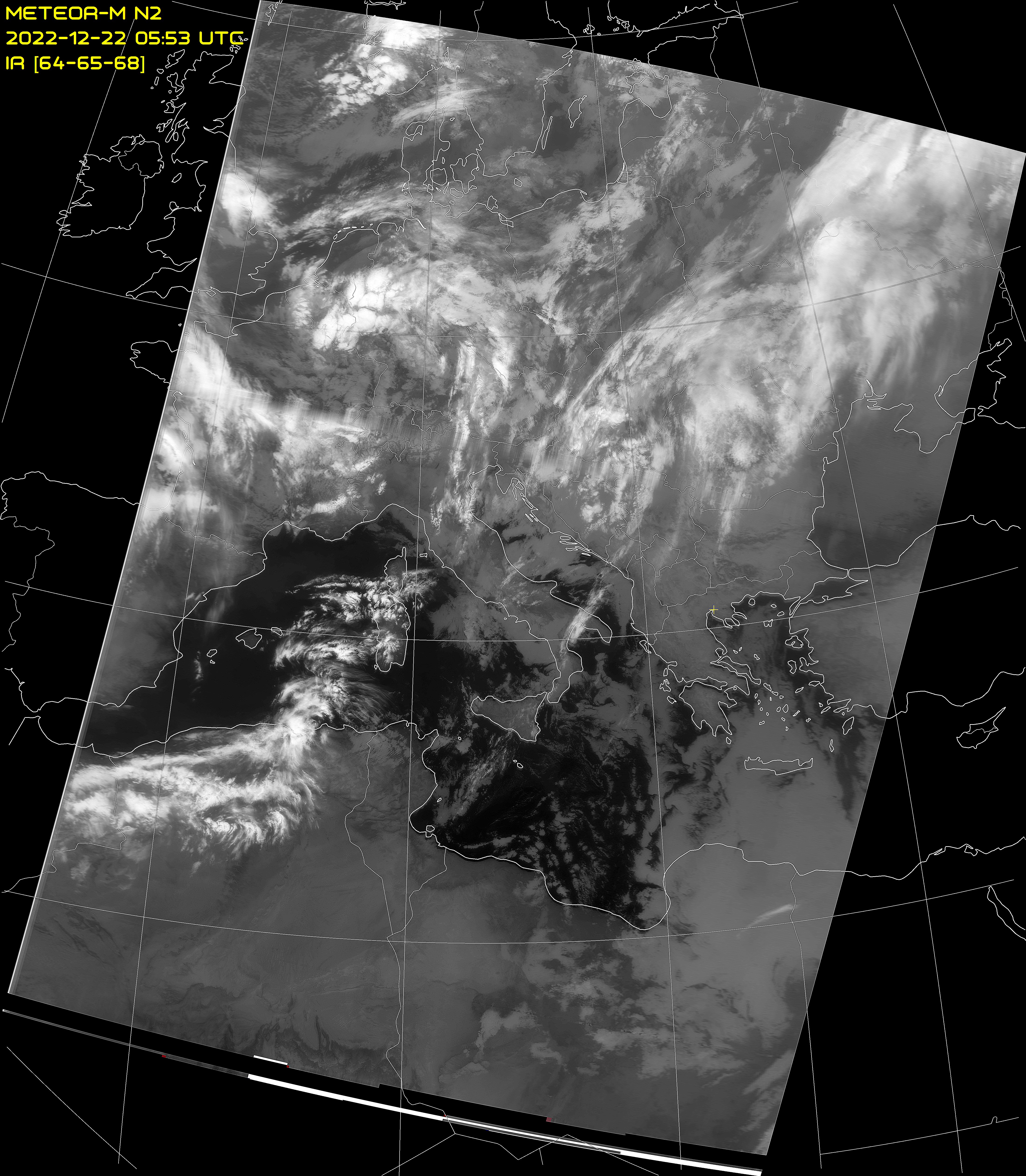
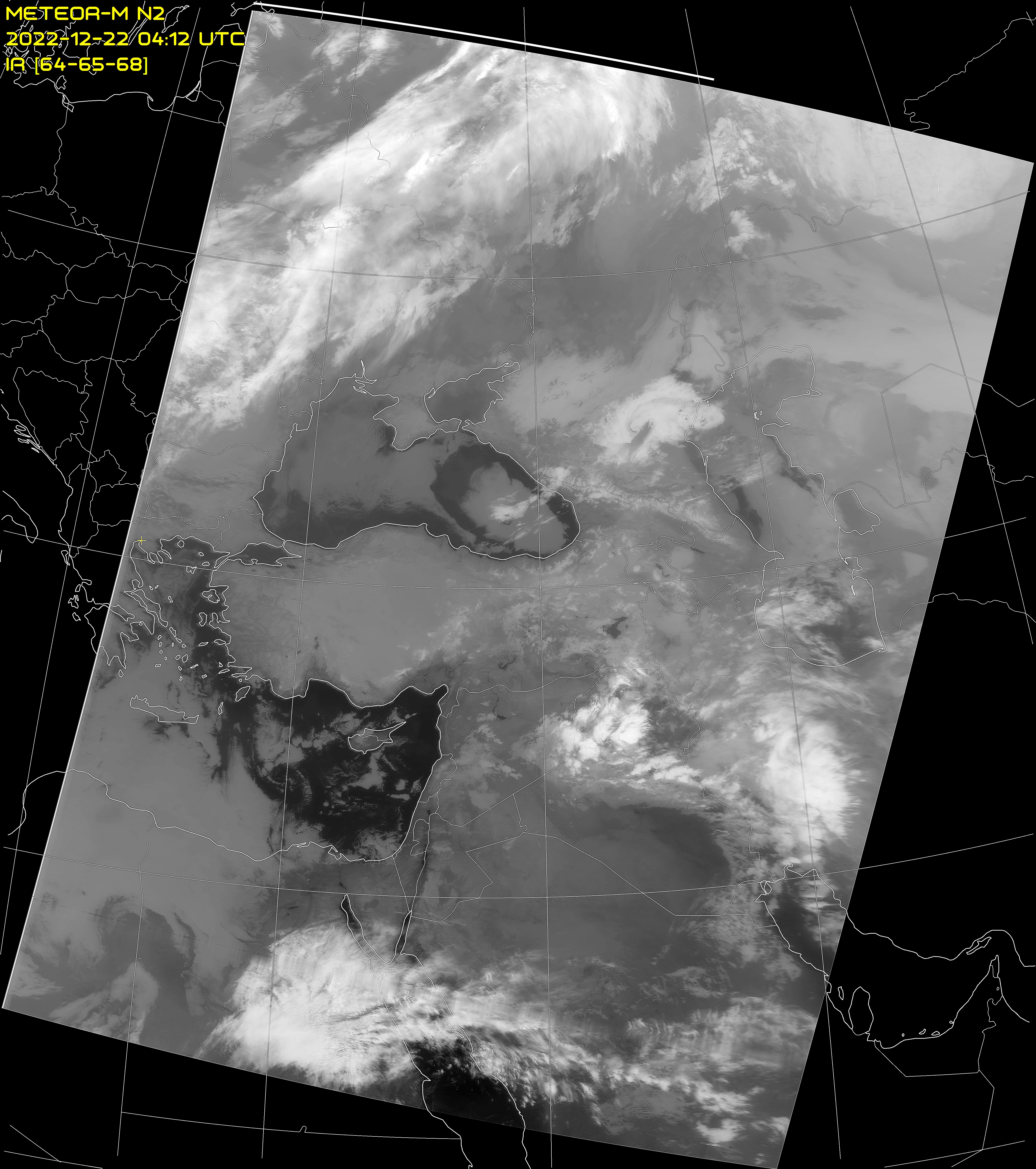
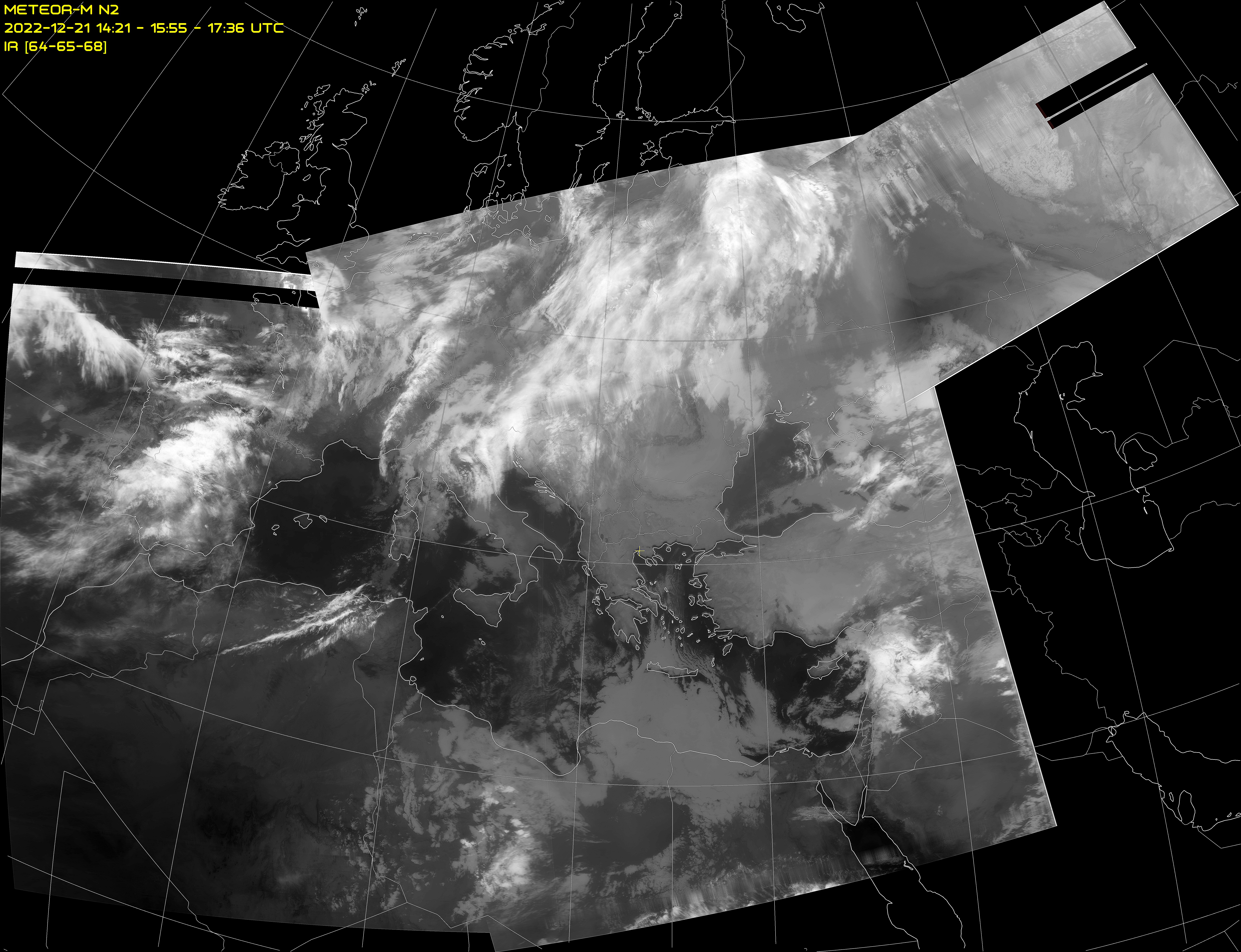
Meteor-M N2 LRPT weather images received on 137.100 MHz in Thessaloniki, Greece
Latitude: 40.594, Longitude: 22.962
Software: SDRsharp with DDE Client and Meteor Demodulator plug-ins. Satellite tracking with Orbitron
Decoding with AMIGOS M2_LRPT_Decoder. Image processing with MeteorGIS
Receiver: RTL-SDR.com v.3 RTL2832U DVB-T Tuner Dongle
Antenna: QFH Diamond DP-KE137 with Nooelec LNA/SAW filter
Click on any image below for a full sized image.
Times are shown in UTC.

Next passes over Thessaloniki with Elevation > 5°Data obtained from www.n2yo.com |
||||
|---|---|---|---|---|
| Date UTC |
Start of Pass UTC |
Direction | Max Elevation Degrees (E or W) |
End of Pass UTC |
| 24 Jun 2025 | 01:48 | NE >> SE | 13.45° E | 02:00 |
| 24 Jun 2025 | 03:27 | N >> SSW | 74.09° WNW | 03:42 |
| 24 Jun 2025 | 05:08 | N >> W | 10.02° NW | 05:19 |
| 24 Jun 2025 | 13:10 | SE >> N | 22.43° ENE | 13:24 |
| 24 Jun 2025 | 14:49 | S >> NNW | 47.76° W | 15:04 |
| 25 Jun 2025 | 01:28 | NE >> SE | 7.63° E | 01:38 |
| 25 Jun 2025 | 03:07 | N >> S | 73.53° E | 03:22 |
| 25 Jun 2025 | 04:47 | N >> WSW | 15.48° NW | 05:00 |