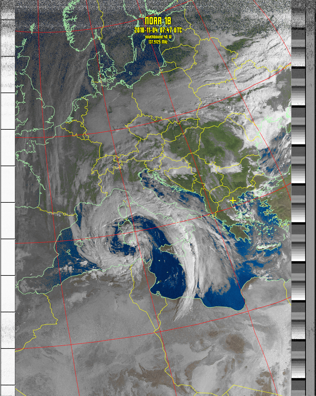
Weather satellite images recorded at Thessaloniki, Greece.

Latitude: 40.594, Longitude: 22.962

Software: WXtoImg version 2.10.11

Receiver: R2FX

Antenna: QFH Diamond DP-KE137

Click on any image below for a full sized image. Times are shown in UTC.

You must enable javascript in your web browser to see all the images and more detailed information.

Composite MCIR-precip
17 Jun 2025 07:11

Composite MSA-precip
17 Jun 2025 07:11

Composite therm
Composite therm
17 Jun 2025 07:11

NOAA 19 MCIR-precip
NOAA 19 MCIR-precip
17 Jun 2025 07:11

NOAA 19 MSA-precip
NOAA 19 MSA-precip
17 Jun 2025 07:11

NOAA 19 therm
NOAA 19 therm
17 Jun 2025 07:11

Next Scheduled Satellite Passes over Thessaloniki, Greece

Satellite
Name
Start of Pass
UTC
Direction Maximum Elevation
Degrees (East or West)
Frequency
MHz
NOAA 19 17 Jun 08:49 137.10
NOAA 15 17 Jun 16:04 137.62
NOAA 15 17 Jun 17:43 137.62
NOAA 19 17 Jun 18:35 137.10
NOAA 19 17 Jun 20:15 137.10
NOAA 15 18 Jun 05:58 137.62
NOAA 15 18 Jun 07:39 137.62
NOAA 19 18 Jun 08:37 137.10